Hi!
I am Aseem Deodhar. I am a Transportation Planner at the IBI Group.
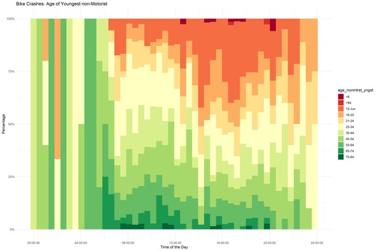
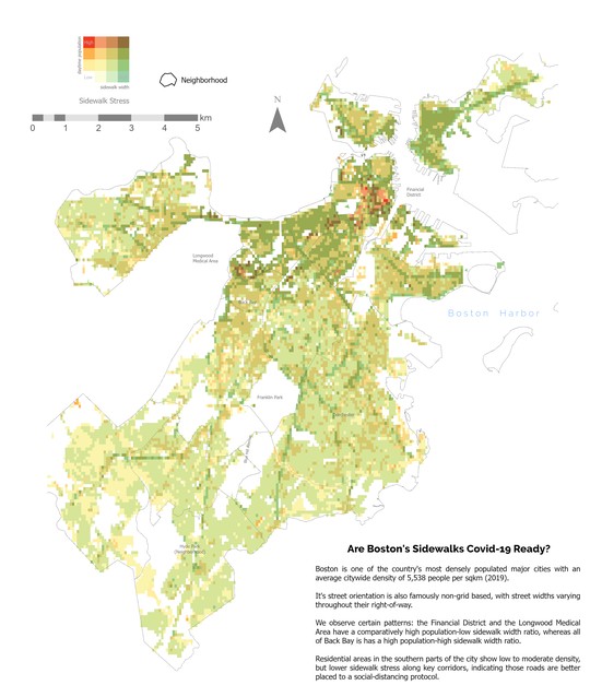
I am experienced in, and passionate about civic technology and its applications in transportation, housing studies, urban & regional planning, and infrastructure design. Here, you can see these interests combine and display themselves through academic, professional, as well as personal projects. I am always looking for advice on, and to collaborate with others on my personal research projects.
I graduated with a Master of Science in Urban Informatics from Northeastern University in May 2020, and also holds an undergraduate degree in Architecture from the University of Pune.
He is passionate about civic technology, urban & regional planning, and data science, and has nearly four years of experience working with city and state agencies across the world on a wide range of public issues.
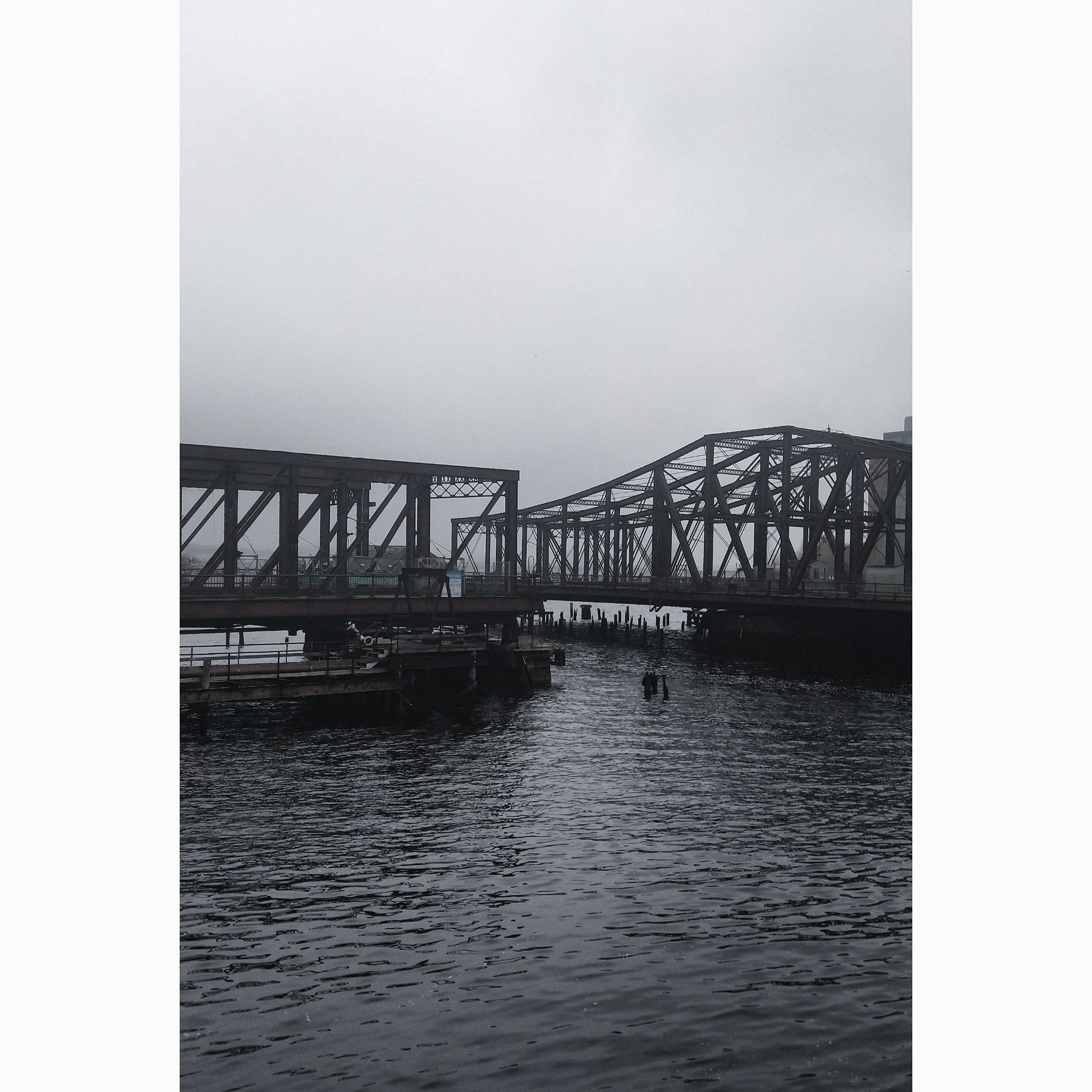
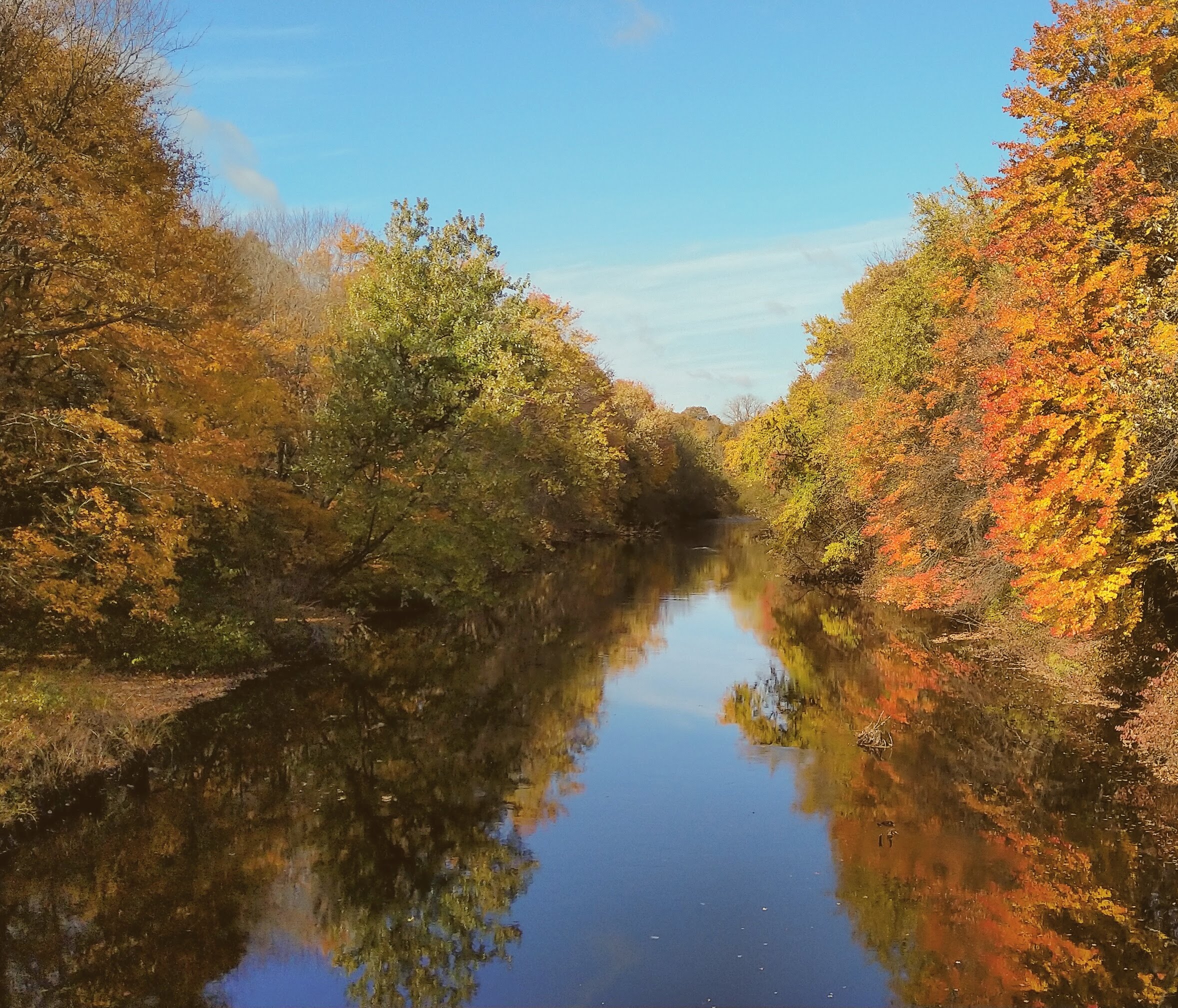
I love to ride my bike across the region I live in, and you can see a documentation of my trips on my travel blog ride351ma.bike
I built this website (and my blog!) using the {blogdown} package with Rmarkdown.
You can do it too!
Interests
- Civic Tech
- Open Source
- Urban Design & Planning
Education
-
MS in Urban Informatics - Urban Innovators Scholarship, 2020
Northeastern University
-
Bachelor of Architecture, 2016
The University of Pune